



Tiana
Haxton RNZ Pacific journalist/presenter
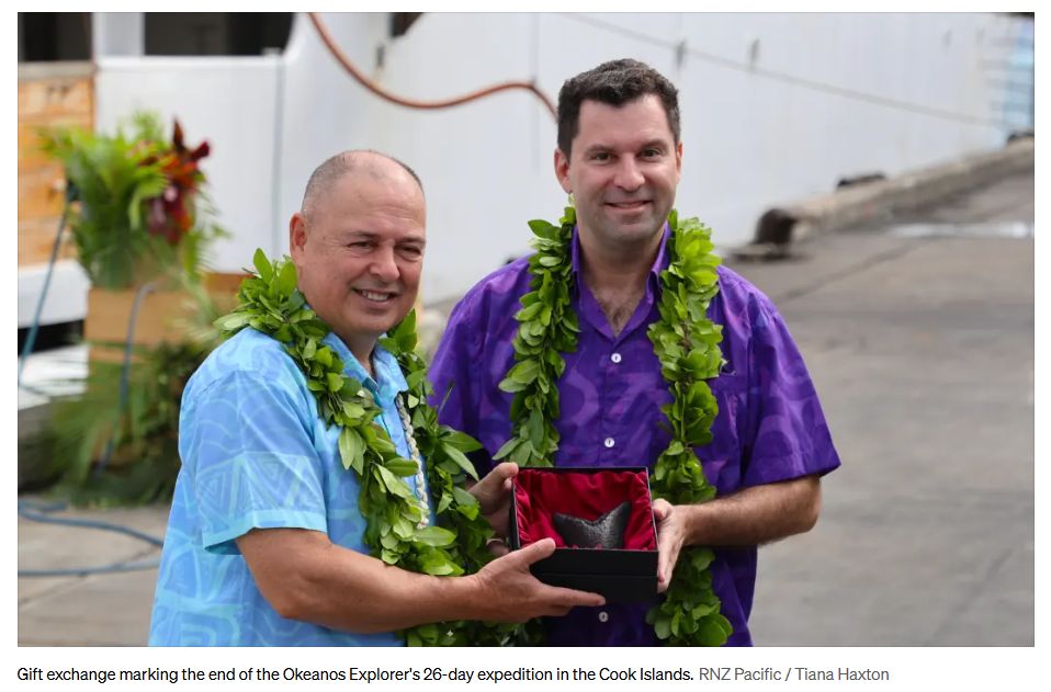
A
26-day deep sea expedition in the Cook Islands by a United
States scientific agency has uncovered new information about
marine life and seabed minerals within the country’s
exclusive economic zone (EEZ).
The National Oceanic
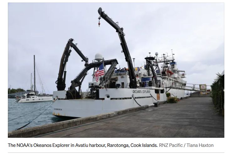
and Atmospheric Administration (NOAA) ship Okeanos
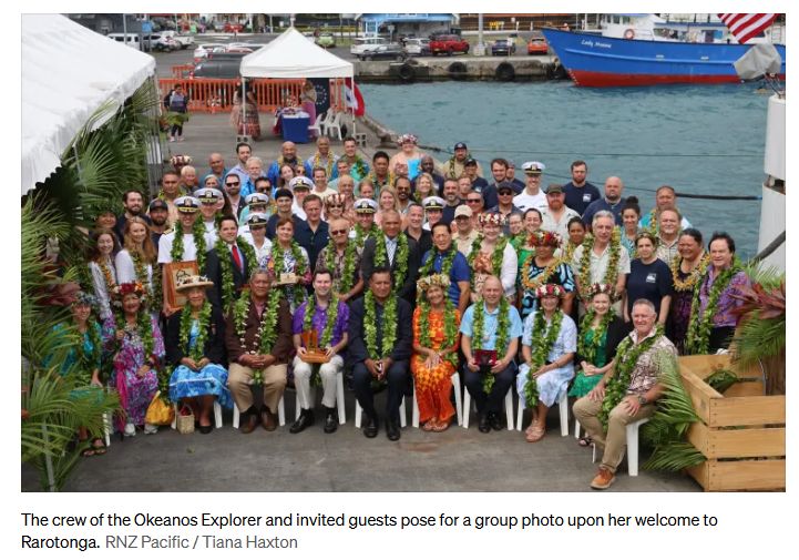
Explorer returned to Rarotonga this week after carrying
out research in the western Cook Islands where little to no
prior data exists.
The expedition conducted 14
remotely operated vehicle dives, collecting more than 400
samples and sub-samples, exploring seamounts, abyssal plains
and areas of the Manihiki Plateau.
Researchers aboard
collected more than 23 biological specimens, some of which
are believed to be new to science.
The information is
being gathered at a time when the US administration has made
no secret of its desire to explore the potential of minerals
on the Cook Islands’ deep seabed.
Evaluating
potential
US Geological Survey scientist Amanda
Demopoulos said building an understanding of underwater life
will help form a baseline that the local community can
reference when making decisions about resources in their
oceans.
But the ecologist pointed out the information
can also impact the wider region, as the wider Pacific
Islands grapples with whether to allow deep sea mining for
valiuavble polymetallic nodules on the deep
seabed.
Advertisement – scroll to continue reading
“Countries have borders, but our ecosystems do
not. By working together across international borders and
boundaries, we can better understand how the full deep-sea
ecosystem functions,” Demopoulos said.
The
expedition also confirmed the presence of extensive
polymetallic nodule fields in parts of the Cook Islands
ocean territory that scientists did not expect.
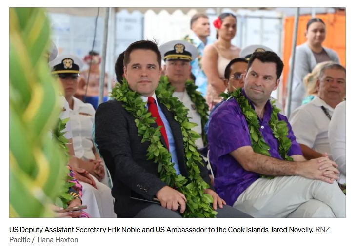
NOAA’s
deputy assistant secretary Erik Noble said the findings
provide important baseline data for future decisions about
seabed resources.
“High-quality data is the essential
first step towards evaluating resource potential. That
baseline data collected on this cruise has given us concrete
advancements in understanding deep-sea marine
ecosystems.
“And yes, it confirmed the presence of
rich polymetallic nodule fields, vast fields in this region,
even in places where they were not expected, even from our
own scientific team.”
Building relations
Noble
said he wants to build on the expedition through further
relations.
“The US is looking forward to long-term,
lasting partnerships with nations that are actively
committed to using world-class science to move
forward’
“Specifically, using this foundation of data
to build out a secure, responsible critical minerals
industry for the future. The goal is to see this data
translated into active economic development, strengthening
global supply chains and creating real-world
opportunities.”
He announced a new science fellow
position will be established at NOAA though the US Embassy
in New Zealand – with the person to be based in the Cook
Islands to support and guide scientific and regulatory
processes.
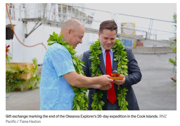
Cook
Islands caretaker Prime Minister Mark Brown, fresh off a
resounding victory in the country’s election last week,
welcomed home the vessel and its crew.
“What has
returned to these shores is more than a research vessel. It
is knowledge,” he said.
Brown said the expedition
showed how much remains unknown about the Cook Islands
ocean.
He described it as a “humbling and inspiring”
experience to sit alongside scientists as they sent an ROV,
remotely operated vehicle, below the waves and watched its
discoveries in real time on screen.
“It reminded me
that, even as an ocean nation, there is still so much about
our own waters that we are only beginning to understand, and
that understanding matters.”
The new US Ambassador to
the Cook Islands Jared Novelly said more than 60,0000 people
around the world tuned in to the expedition’s ROV dives
through live-streams.
“People around the world
followed this expedition live. They watched scientists
become genuinely excited about sand, rocks, and the
occasional deep-sea creature that appeared surprised to be
on camera. The discoveries were shared as they
happened.”
Earlier
expedition
The expedition builds on earlier work by
the Okeanos Explorer that helped the Cook Islands
establish its rights over a much larger area of
seabed.
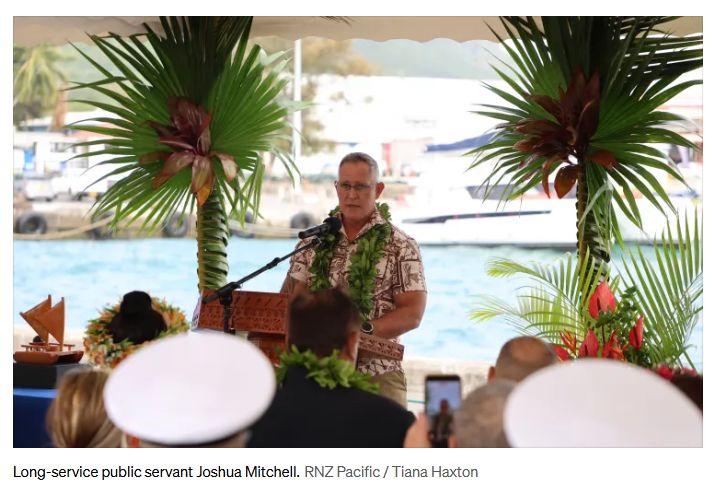
A Cook Islands public servant Joshua Mitchell
said the vessel was instrumental in gathering evidence for
the Cook Islands’ revised extended continental shelf
submission to the United Nations.
In 2017, the
Okeanos Explorer mapped unusual underwater ridges
known as the Spurs, which extend from the Northern part of
the Manihiki Plateau.
“The expedition was a resounding
success. We sent the coordinates through to the Okeanos
Explorer, and they mapped it thoroughly using
sophisticated multibeam equipment. They even flew an ROV up
and along the feature, broadcasting the high-definition
footage in real time for all to see.”
“I’ll never
forget sitting at my desk one day when Alan messages me and
tells me to click on a link to follow the ROV
expedition.
“What I saw unfold on my screen was just
incredible: soft corals, invertebrates, and all manner of
unusual sea creatures. The Spur was teeming with life, an
amazingly diverse ecosystem some 4000 metres down in the
deep.”
Mitchell
said the information ultimately formed part of the Cook
Islands revised submission to the UN Commission on the
Limits of the Continental Shelf.
In 2025, the UN
accepted the technical arguments and endorsed it’s claim,
adding 396,900 square kilometres of extended continental
shelf – and expanding the countrys total national
jurisdiction to more than 2.3 million square
kilometres.
Mitchell said this also makes the Cook
Islands the first Pacific Island nation to finalise all of
its maritime boundaries and extended continental shelves
under the UN Convention on the Law of the Sea.
For
him, the Okeanos Explorer returning to the Cook
Islands for its most recent expedition is very
special.
“She represents opportunity for people from
two different nations working together for the betterment of
both countries.
“She represents the importance of
scientific knowledge to the ultimate expression of
sovereignty in our maritime space, our Marae Moana, and she
represents legacy from inspiring school kids in a classroom
on a remote atoll to someday become marine scientists and
researchers themselves.”
Cook
Islands Seabed Minerals Authority
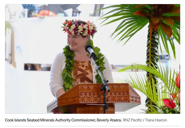
The Cook Islands
Seabed Minerals Authority commissioner Beverly Ataera said
that having NOAA taking members of her team on board for the
expedition has helped build local scientific
capability.
“One of the things I particularly value
about this expedition is that the Cook Islanders have not
simply been observers… That capability that you shared
with them will remain in the Cook Islands forever. This is
how we build long-lasting capability.”
While there is
significant concern in the Pacific Islands region about the
potential environmental impact from deep sea mining, Ataera
said the sort of knowledge gained in the NOAA expedition can
only help better inform the debate.
She believes the
value of the expedition lies not only in what it discovered,
but what it allows the Cook Islands to do next.
“They
help us to understand our ocean a little better. They help
us to identify what we know and what we don’t know yet, and
where we need to focus our efforts to learn a little more.
And that matters enormously for us in the Cook
Islands.
“If we are going to make good decisions about
that ocean, those decisions must be grounded in good science
and good information.”
Ataera
concluded by reiterating that the information gathered must
also be made accessible to Cook Islanders.
The
expedition data, video logs and sample analysis will be
processed and shared with the Cook Islands Government and
wider scientific
community.
New Zealand’s public broadcaster, providing comprehensive NZ news and current affairs, specialist audio features and documentaries.
Radio New Zealand is a Crown entity established under the Radio New Zealand Act 1995. Radio New Zealand News are vital elements in our programming, providing impartial news and information to New Zealanders every day. Radio New Zealand (RNZ) provides listeners with exciting and independent radio programmes in accordance with the Radio New Zealand Charter.

